
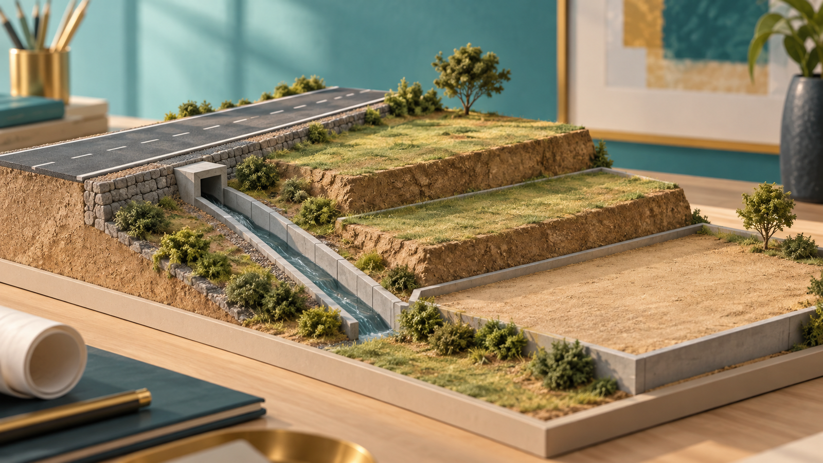
A plot can look lower than the road without telling you what work it needs. The road may have different levels along its length. A nearby drain may lead somewhere you cannot see. Water may arrive from outside your boundary as well as falling inside it.
Before arranging filling, ask an engineer to assess the relationship between the plot, access road and drainage system. The decision should answer a practical question: what is the appropriate site arrangement for this plot and its intended use? A truckload estimate cannot answer that on its own.
This guide helps you prepare that enquiry, compare the answers and keep a usable record. It provides no filling height, slope or construction specification; those require site-specific professional assessment.
Separate what you saw from what you know
Start with a short observation note. Record the date, weather, where you stood and what caught your attention. “Water visible beside the entrance after rain” gives your engineer something to investigate. “The whole plot has a drainage defect” is a conclusion the observation does not establish.
Keep dry-weather and wet-weather photographs together. Include the plot entrance, visible road edge, nearby drain openings and any apparent flow route you can photograph safely from an accessible position. Do not enter drains, lift covers or walk through water to improve the record.
Our plot site-visit checklist covers the wider inspection. For this enquiry, give every drainage observation its own reference so you can connect a later explanation to the original photograph.
Request a survey brief before requesting a filling quote
Tell the engineer why you are considering the work. Are you preparing to build, improving access for maintenance or responding to standing water? Share the sanctioned layout available to you, plot identifiers, previous surveys and any proposed house drawings.
Ask what survey is required, which surrounding features need recording and what access must be arranged. Request an explanation of the reference used for levels so drawings prepared at different times can be compared meaningfully.
India’s CPHEEO stormwater manual describes drainage investigation as involving topographical information, existing drainage condition, outfall locations and runoff from adjacent catchments. For an owner, the practical implication is to commission an assessment that looks beyond the centre of the plot. CPHEEO engineering design manual, Chapter 2.
Before accepting the appointment, ask what you will receive: a survey drawing, written findings, a proposal or a further-investigation recommendation. Agree on the deliverables so “site inspected” does not become the only record of the visit.
Ask what each level refers to
“Road level” can be too vague for a decision. Ask the professional to identify the road locations being considered and explain their relationship to the plot entrance, existing ground and proposed finished arrangement.
Likewise, separate the ground you see today from any proposed finished ground and the building levels your design team may later recommend. Have the engineer explain how the proposal would affect access, boundary conditions and the planned home. Avoid adopting a neighbour’s level as a convenient target without that review.
If road works are proposed or incomplete, request available drawings and written clarification from the responsible organisation. Record what is confirmed and what is an assumption. Ask the engineer which parts of the recommendation would need revisiting if the road arrangement changes.
Follow the drainage question to its destination
A channel outside the gate is a starting point for questions. Ask where it discharges, who controls or maintains it, whether its condition has been assessed and what evidence supports any proposed connection from your plot.
Request a clear distinction between the existing arrangement and work still required. A drawing of a future system should be labelled accordingly. If the route passes outside the layout or involves another organisation, ask who will obtain the necessary confirmation and how it will be recorded.
Take this question to the engineer: “What happens to water leaving the plot, and what could prevent that route from working?” Ask them to explain the limits of the assessment, including whether further investigation of downstream conditions is needed. Keep unanswered questions open rather than converting them into assumptions in a contractor’s quote.
Consider the future surface, not just vacant ground
A house, driveway and other hard surfaces can change how rainfall leaves a site. The US Environmental Protection Agency explains that impervious surfaces reduce infiltration and increase surface runoff. This is a general physical principle, not a Telangana permission standard. EPA guidance on runoff and impervious surfaces.
Tell your engineer what you expect to build or pave, even if the design remains preliminary. Ask whether the recommendation depends on that arrangement and when it must be reviewed with the architect. Otherwise, the assessment and the eventual home may be answering different briefs.
For the broader preparation sequence, read our build-ready plots explainer. Drainage is one part of the evidence needed before construction decisions become concrete.
Keep filling work behind a written decision
Changing ground levels can change water routes. Ask the engineer to assess effects at neighbouring boundaries and access points before recommending filling. Raising your own surface should not be treated as proof that the surrounding drainage question has been resolved.
Hypothetical example: an owner requests a quote because the front of the plot appears low. The engineer asks for surveyed levels and the downstream drainage information first. The contractor’s proposed filling work remains unapproved while those records are obtained. The owner saves the assessment and revised scope together, making the reason for the eventual decision traceable.
Ask your professional team what permissions or confirmations apply to the proposed work. Request a written scope covering the engineer’s requirements, inspection responsibilities, handling of changes and completion records. Technical specifications should come from the responsible professional, not from a generic article or a supplier’s standard offer.
Plot Ownership Workbook: levels and drainage decision sheet
Copy this table into your ownership file. Fill in the observation and document references yourself; ask the responsible professional to supply the assessment and recommendation.
| Decision field | Question to record |
|---|---|
| Purpose | What intended use or observed condition prompted this enquiry? |
| Evidence | Which dated photographs, drawings and past reports were supplied? |
| Survey | What was surveyed, using which reference, and what remains unmeasured? |
| Road relationship | Which road and entrance locations inform the assessment? |
| Drainage route | Where would water go, and how was that destination checked? |
| Surroundings | What neighbouring or upstream conditions need attention? |
| Future use | What building and paved areas were assumed? |
| Recommendation | Is filling proposed, unnecessary or awaiting more evidence? |
| Responsibility | Who confirms permissions, designs the work and inspects it? |
| Closure | Which report, drawing or completion record closes each open question? |
Add a follow-up owner and date beside unresolved items. This is an administrative reminder, not an engineering deadline. Keep the original observations after the issue is resolved so later readers can understand why work was commissioned.
If parcel identity or source documents are unclear, begin with our plot document verification guide. For a Young India Housing plot, request available layout records and book a site visit, sharing the plot reference and the information your engineer needs before recommending the next step.