
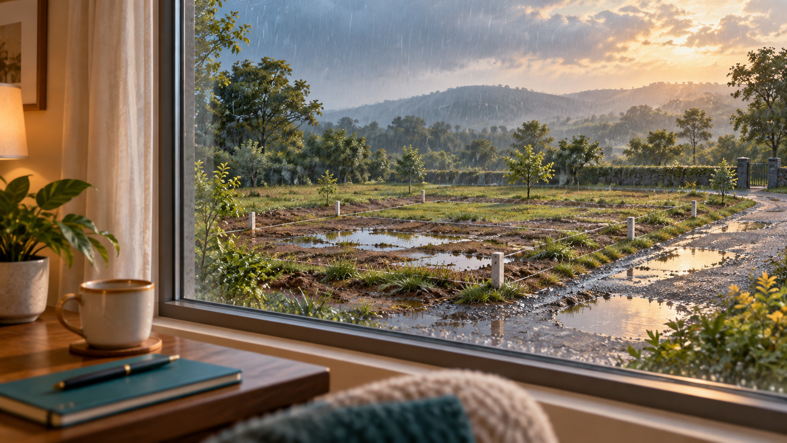
A plot can look straightforward on a clear afternoon: an open stretch of land, a road in front and visible corner stones. After rain, different questions become easier to notice. Does the approach remain usable? Where is water standing? Has material collected beside a drain opening?
A monsoon plot inspection checklist helps you turn those observations into a useful owner record. The aim is to compare conditions and identify questions for the responsible maintenance team or a qualified engineer. One wet visit cannot certify flood safety, diagnose a drainage system or establish how the land will behave in every storm.
Choose a safe observation window
Check the India Meteorological Department’s district nowcast warnings before setting out. Read the issue time, validity and location. Ask the site contact about the actual approach road as well; a broad forecast does not describe every local crossing or obstruction.
Postpone the visit if access is unsafe or local instructions advise against travel. Do not enter flowing or standing floodwater, drive through a flooded stretch, or approach fallen cables and flooded electrical poles. These precautions follow the National Centre for Disease Control’s flood advisory.
The inspection can wait. No photograph is worth stepping into water whose depth, surface or hazards you cannot assess. Ask anyone documenting the site on your behalf to follow the same rule, and mark inaccessible areas as uninspected.
Record the conditions before drawing conclusions
Start the visit note with the date, time, plot number and route used. Add whether rain was falling during the visit and what you know about earlier rainfall. If a site representative says it rained overnight, attribute that statement rather than presenting it as measured weather data.
Do not guess rainfall amounts from the size of a puddle. If you retain a weather report, record its station or geographic coverage; it may not describe rainfall on your exact plot.
Keep the timing precise. “Water visible beside the frontage at the afternoon visit” is more useful than “waterlogging problem.” A later observation from the same safe viewpoint helps establish whether the condition persisted. It still does not explain the cause by itself.
Inspect the journey as well as the plot
Begin with the approach from the public road and continue only along a safe, accessible route. Note washed material, broken surfaces, blocked sections and any detour. Identify the location using a junction or another stable reference, rather than “near the entrance.”
Separate an internal-layout issue from a problem on the wider approach. This helps you direct the follow-up to the right person instead of assuming the developer maintains every road used to reach the property.
Ask whether the route is the same one shown during earlier visits. If you are directed across adjoining private land, record that fact and request clarification of the intended access. Being able to drive somewhere on one occasion does not settle the rights or arrangements for using that route.
Our general plot site-visit checklist covers the wider visit. This wet-season record adds the conditions that can be missed when the surface is dry.
Observe where water and loose material appear
From safe ground, photograph standing water in relation to the road, visible markers and neighbouring features. Take a wide view before a close-up. The wide image helps a reviewer locate the issue; the close-up shows the particular condition you want discussed.
Note visible sediment, litter around drain openings, erosion-like channels in exposed soil, or water apparently entering from adjoining land. Describe these as observations. A photograph cannot establish the underground drainage route, soil characteristics or the reason water remains in one place.
Where vegetation hides the ground, say so. Do not record the whole plot as clear merely because the frontage is visible. Similarly, avoid estimating water depth from a photograph or stepping into it to obtain a measurement.
Leave drain covers, barriers and boundary markers in place. The NDMA safety guidance published by Maharashtra’s disaster management authority advises against walking through moving water and approaching loose electrical wiring or poles. An owner inspection should remain an observation exercise from safe locations.
Ask questions that an engineer can answer
Bring the photographs, relevant layout drawing and earlier site notes to the conversation. Useful questions include:
- Which drainage route is intended to serve this road frontage, and where does it discharge?
- Are the relevant sections complete, accessible for maintenance and represented in the available records?
- Does this repeated observation require a levels survey or another investigation?
- Who should inspect the issue, and what evidence will explain the proposed action?
- Could suggested work affect neighbouring plots, shared roads or the drainage route?
Do not ask a contractor simply to “raise the plot until it looks dry.” Establish the cause and appropriate design response with a qualified professional before authorising filling, cutting a channel or altering shared infrastructure. Confirm any applicable approvals as part of that process.
For owners planning a home, these questions belong alongside the permissions and service checks in our build-ready plots guide.
Plot Ownership Workbook: wet-weather comparison page
Use the following page for each safe visit. Keep the same viewpoint names across visits so that another person can repeat the record without guessing.
| Observation | What to record | Follow-up question |
|---|---|---|
| Approach road | Actual route, obstruction location, photograph | Who manages the affected section? |
| Plot frontage | Water or loose material relative to a fixed feature | Does the frontage need professional inspection? |
| Visible plot area | Standing water locations and areas obscured | What could not be assessed? |
| Drainage features | Visible opening or channel, image reference | Where does this section connect? |
| Boundary visibility | Markers visible, hidden or apparently displaced | Is survey verification needed? |
| Repeat visit | Same viewpoint, new date and condition | Has the observation changed or persisted? |
| Response | Named contact, action proposed, supporting records | What evidence will close the item? |
Add an owner note beneath the table: Observed directly / reported by someone else / not inspected. This simple distinction keeps a second-hand update from becoming an unsupported conclusion.
Compare with a dry visit and keep the issue open
At a later safe visit, photograph the same places again. A dry comparison can show the underlying surface or feature that was obscured earlier. Preserve both sets of originals with their dates; a single “after” image should not replace the record of the original concern.
Send the responsible contact a short issue list with labelled images. Request an explanation and next action, then retain the response. If work is proposed, ask who will assess it and how completion will be checked. Avoid closing an issue solely because a patch of water has disappeared.
For a future family home, add any access concerns to your family plot checklist. A route that affects daily travel deserves attention alongside the condition of the plot itself.
If you own or are considering a Young India Housing plot, contact the team to request available project records or arrange a site visit. Share the plot details, dates and specific observations so the discussion starts with identifiable conditions on the ground.